A narrative beneath my feet
Still on Paterson Plank Road. I decide this will be my first trace on Secaucus for today. I try to imagine those years of the former plank road.

PLANK ROAD (San Diego) |
Wood, mud and clogs, as I said. Blood as well. The coming of the Dutch brought two massacres in 1645 and 1655. In 1658 Petrus Stuyvesant purchased the territory of the present day Hudson County.
“The land lying on the West side of the North river (Hudson), in New Netherlands, beginning by the rock above Wichacken and from thence across through the lands, till above the Island Siskakes […]” [REED GERTRUDE S., HENKEL ROBERT E., (1950), History of Secaucus – New Jersey, Secaucus Home News.]

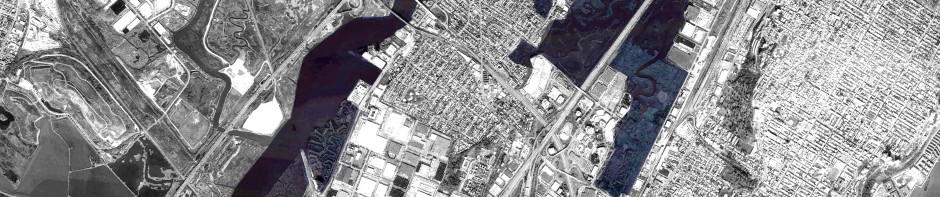
With the first Dutch settlement here came the toll roads (the most important the present day Secacus Road and Paterson Plank Road), and throughout years the edification and the exploitation even on the marshes. Meadows left space to agricultural fields and then to industries and commercial warehouse. Waterways left space to toll roads and railtracks, and then to car-oriented infrastructures.
Nowadays most of this history is trapped within a mere old name. Paterson Plank Road is not anymore a plank road.
Asphalt took place. It’s not anymore the main way to Paterson. State Route 3 took place, as well. Mutilated by the river, it ends in a stump. A river as its ideal coffin. A tree as its ideal tombstone. My pilgrimage would be at a dead end, but Farm Road let me escape from my cul-de-sac, suddenly injecting my body into the wild. Close to the edge of the floating asphalt isle, surrounded by a gargantuan puddle of mud.
Wallowing in the mud
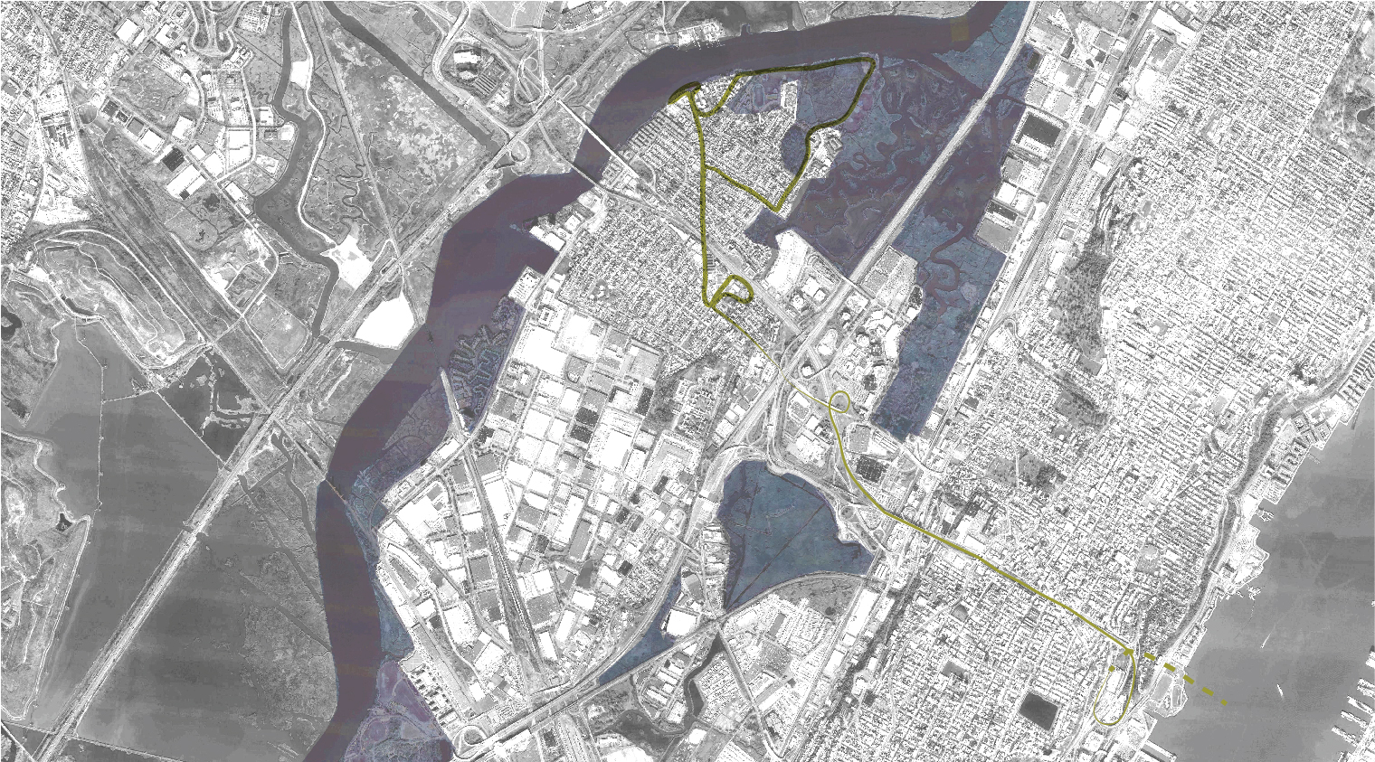
The Meadows Park, leftover of what was the landscape of the former Siskakes Island. Island. Secaucus. The former watershed, before the productive seizure of the land, the swamp was crossed by two divergent streams. They used to embrace the loop of the Hackensack, and dive into it. Here is the remaining twin. The other one buried by cars, industries and warehouses.
For a while I’m forced to face the mud. I’m following no path. I’m tracing a new one and my steps settled on my feet. Soon I leave the puddle and join the bridge crossing the Mil Creek Point Park.
Harlem on the background, I keep following the path, but the temptation of wandering in the weeds is stronger. Jumping among slosh, wood and asphalt I got back again to streets and avenues. Time to get back to New York.

